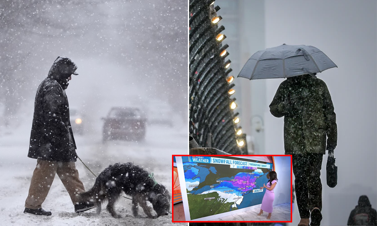
Ninety-five million people across the northern U.S. are under winter weather alerts on Saturday, as snow began to accumulate in communities like Minneapolis.
Ninety-five million people across the northern U.S. from the plains to the Great Lakes as well as the Northeast were under winter weather alerts Saturday as a blast of winter weather could foul roads and create dangerous, icy conditions from the Dakotas to Maine.
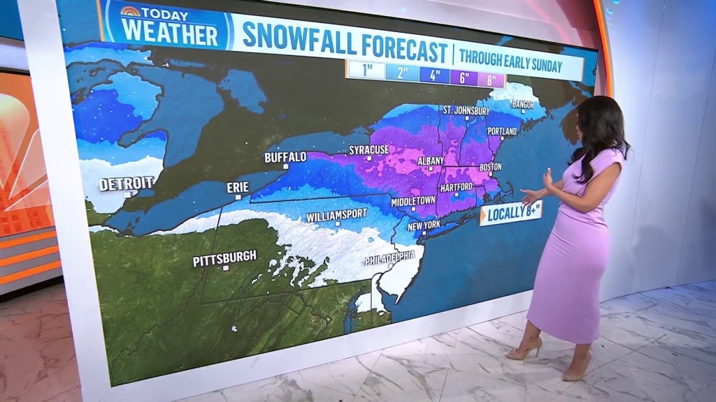
The most severe conditions were expected in the Northeast, which could see 6 to 12 inches of snow Saturday evening and into Sunday morning, and forecasters expect limited visibility. The biggest cities in the Northeast can expect significant snowfall, with 3 to 5 inches in New York City and 4 to 8 inches in Boston expected.

In a news release, Boston Mayor Michelle Wu said the city was preparing to help at-risk Bostonians, including older residents and those experiencing homelessness.

Emergency shelters in Boston would be open 24 hours a day and street outreach teams would be traveling the city in outreach vans, the release said.
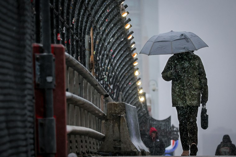
In a post on X, Boston Logan International Airport said it expected “delays and cancellations” due to the storm.
Washington, D.C., and Philadelphia could receive a mixture of snow, sleet and freezing rain, and ice could form in some areas.
The system tracked over the Great Lakes region first, leaving between 5 and 8 inches of coverage in northern parts of the Twin Cities.

“There’s quite a few accidents across the Twin Cities and there have been most of the morning,” said Melissa Dye, a National Weather Meteorologist based in Chanhassen, Minnesota, on Saturday morning. “We are still getting some pretty moderate to heavy snow here.”
Dye said the snow was easily transported by the wind.
“It’s a really light, fluffy snow,” Dye said. “Not great snowman-making snow.”
About 4 to 8 inches of snow was expected to blanket much of the Great Lakes Region by nightfall Saturday, forecasters said. Then, the system will sweep eastward. Snow has already started to accumulate in communities like Minneapolis and Fargo, North Dakota.

“This is going to be the same system that will track east and it should strengthen as it does,” Dye said. “It does look like the northeast will get more precipitation than we are here.”
By Saturday night, a wintry mix of rain, sleet and freezing rain will hit the Ohio Valley and northern mid-Atlantic. Power outages and downed trees are possible, according to a national forecast from the National Weather Service. Central Appalachia could receive a quarter inch of ice, and ice warnings are in effect.
The northern U.S. plunged into a prolonged cold spell last month, as Arctic outbreaks pushed temperatures in many parts of the nation well below typical averages. That trend has continued in February.
That doesn’t mean that the effects of climate change are easing. Copernicus, a European climate monitoring program, reported that January 2025 was the warmest on record and about 3 degrees Fahrenheit above preindustrial temperature averages.
“Temperatures were most notably below average over the United States,” read a recent Copernicus report.